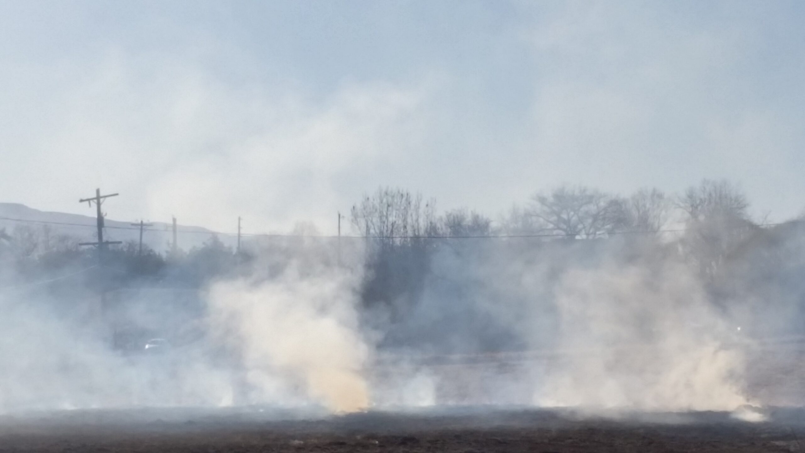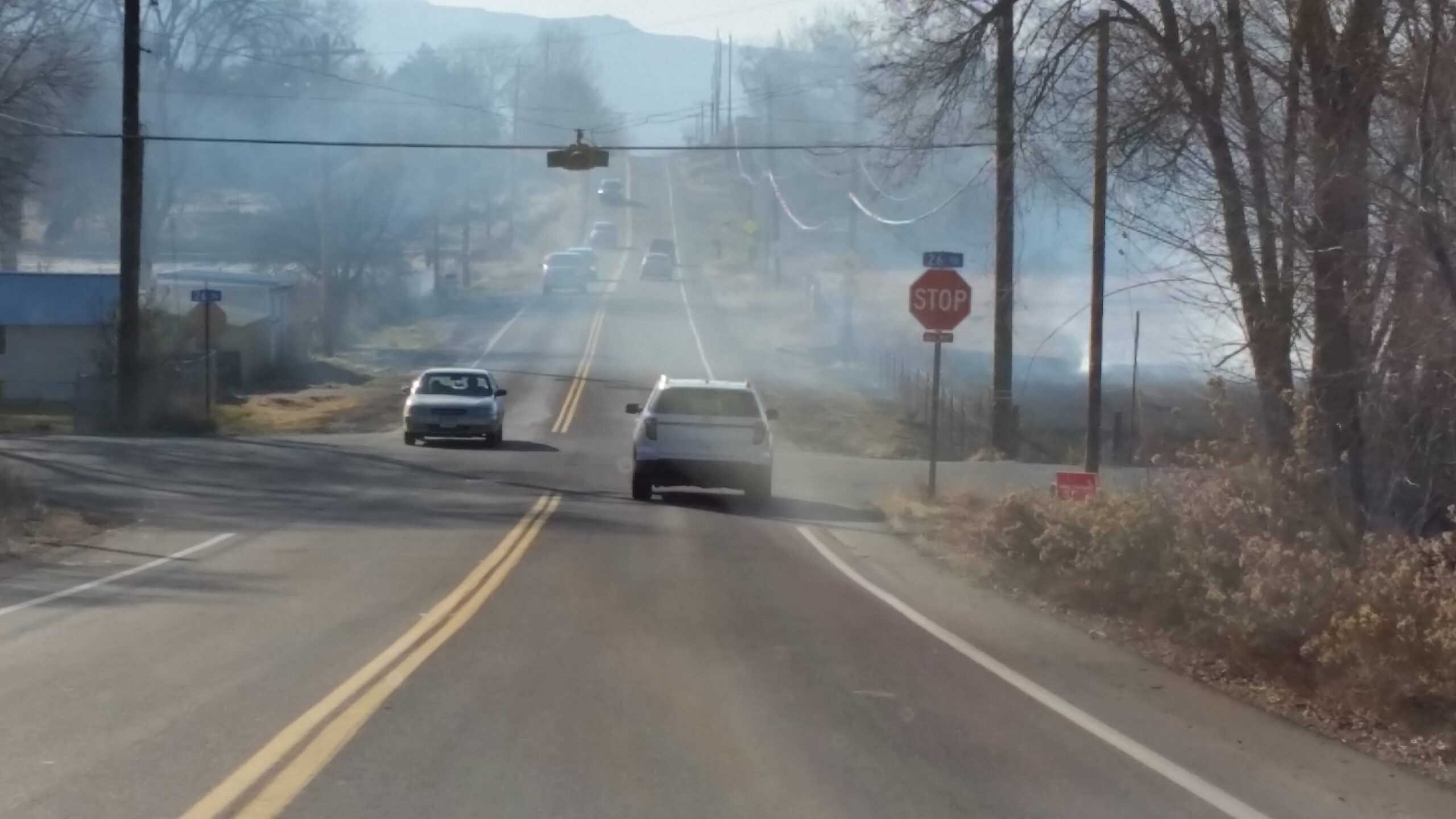
What caused the dense haze in the Grand Valley air a couple of days ago that obstructed scenic views of the Grand Mesa and Colorado National Monument?
Now you can easily find out.
Citizens for Clean Air just published a link to handy tool that helps people find out more about the air pollution in the valley. It’s called called the Air Now Fire and Smoke Map. If you go to the site and click “geolocate,” it can use your computer’s location to bring up the map of your area. You can also just enter your Zip Code to see local data. The green circles on the map show level of fine particulate matter pollution conditions in the air, or “PM2.5,” locally. PM 2.5 is the main air pollutant in smoke. Clicking on the green circles leads to more information, including actions you can take.
The Fire and Smoke Map is available in both English and Spanish and has settings to accommodate vision conditions like colorblindness. The air pollution data is based on sensors placed throughout the area. By zooming out on the map, you can see the location of wildfires throughout the country, including the ones nearest our area. The colors of dots on the map indicate the relative safety or danger of the air quality in your immediate area, and what, if any, precautions you need to take to stay safe and preserve your health.
The map is created and made available to the public by the U.S. Environmental Protection Agency and the U.S. Forest Service.
Colorado Department of Public Health and Environment (CDPHE) also provides a Smoke Blog that tells about the sources of smoke in Colorado’s air.

Citizens for Clean Air is a local organization that works to reduce air pollution and promote improvement in the air quality in Mesa County and the western slope.
Open burning allowed by the City and County cause health hazards for Grand Valley residents
Air quality in Mesa County usually takes a hit during the biannual open burning seasons. The fall open burn season runs from September 1 through October 31, and poses a health hazard to people with conditions like asthma, chronic obstructive pulmonary disease or congestive heart failure. Mesa County and the City of Grand Junction have rules that attempt to rein in open burning, but they are frequently violated by people who burn illegal and particularly noxious materials after dark, when it is harder to detect the source.


